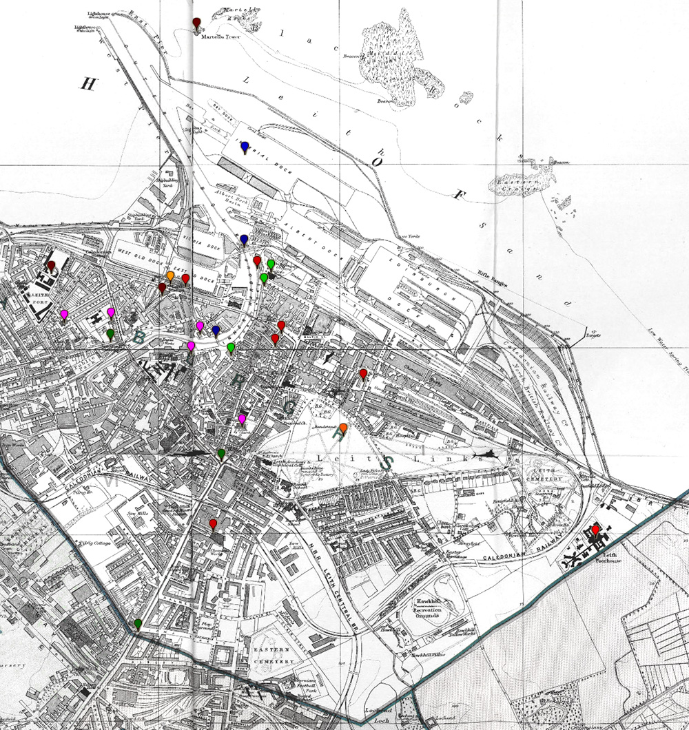
Leith index map

About this map
This uses an extract from the ‘Post Office plan of Edinburgh, Leith, and Portobello, with suburbs’, published by W. & A.K. Johnston Limited in 1907. It is reproduced here by courtesy of the National Library of Scotland, under the Creative Commons Attribution licence. For further information and many more maps, please visit the NLS Maps website.
You can see a slightly larger extract from the same map, showing the Leith Burgh boundary, here.
How to use the map
Hover over a marker on the map to see the name of the point of interest, then click the link to read more.
Legend
Find out more
For further information, you may wish to visit the National Library of Scotland maps pages using the link below.
Direct link to the Edinburgh City section of the NLS website, which links to numerous maps from various dates