Junction Bridge

The history of Junction Bridge seems to have been in three main stages.
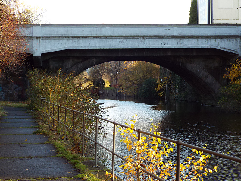
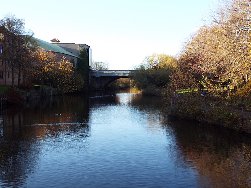
The bridge, connecting with the new roads that are now known as Great Junction Street and North Junction Street, was built in the early part of the nineteenth century and was completed in 1818. At that stage, it consisted of a single arch spanning the Water of Leith, as seen in the photographs on below.


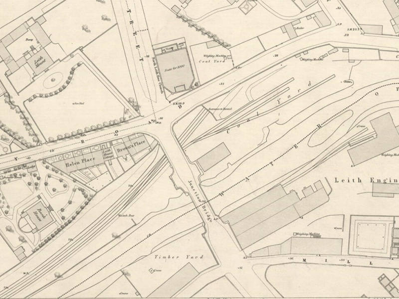
In the 1840s, a railway was built immediately north of the river, and an additional arch was formed to allow it to pass under Great Junction Street. A view of this part of the bridge is shown on our page about Junction Bridge Railway Station. As can be seen from the map at the top of the page, the piers and abutments were wider than the road itself, Great Junction Street narrowing noticeably at the end of the bridge.
To give greater space for traffic, the bridge was widened in 1909 by adding steel spans on either side of the arch, topped with reinforced concrete parapet walls. The sides of these walls next to the street have, in recent years, been painted to highlight the ‘panelled’ effect cast in the concrete.
Sources: Edinphoto website for information about the widening of the bridge.